


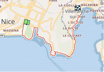
Ballade chemin des douaniers Nice-Villefranche

coriace
User

Length
7.9 km

Max alt
75 m

Uphill gradient
173 m
Km-Effort
10.3 km

Min alt
0 m

Downhill gradient
186 m
Boucle
No
Creation date :
2020-10-18 10:33:41.391
Updated on :
2020-10-20 09:05:10.748
2h13
Difficulty : Very easy

FREE GPS app for hiking
 SityTrail
IGN / Geographical institutes
SityTrail Plus
The world is yours!
About
Trail Walking of 7.9 km to be discovered at Provence-Alpes-Côte d'Azur, Maritime Alps, Nice. This trail is proposed by coriace.
Description
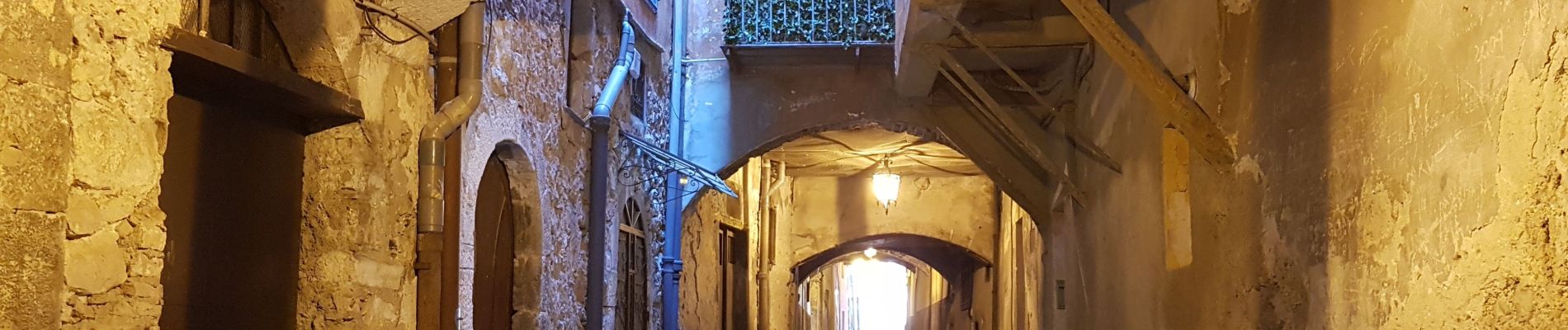
Petite balade du vieux Nice à Villefranche sur mer par le sentier des douaniers
Photos


24 photos in total. Please click on a photo to see them all in the gallery.
Positioning
Country:
France
Region :
Provence-Alpes-Côte d'Azur
Department/Province :
Maritime Alps
Municipality :
Nice
Location:
Unknown
Start:(Dec)
Start:(UTM)
361190 ; 4839747 (32T) N.
Comments
Merci pour cette randonnée et ses nombreuses photos.