


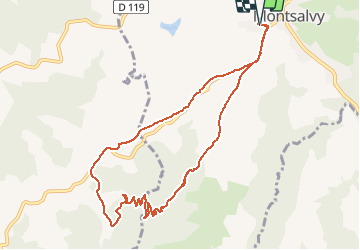

23 km | 33 km-effort


User


FREE GPS app for hiking
 SityTrail
IGN / Geographical institutes
SityTrail World
The world is yours!
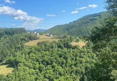
Trail Running of 10.6 km to be discovered at Auvergne-Rhône-Alpes, Cantal, Montsalvy. This trail is proposed by kayakiste15.
montsalvy aubespeyre par le brougounet, le combal et retour
Mountain bike
Walking

Mountain bike
Walking
Mountain bike
Walking

Mountain bike

Walking
Mountain bike
franchement super !