


filot

Chanchan63
User
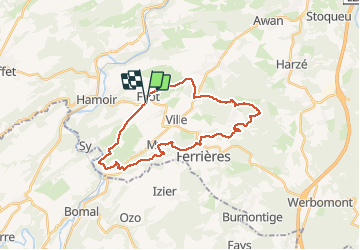

Length
26 km

Max alt
378 m

Uphill gradient
550 m
Km-Effort
33 km

Min alt
143 m

Downhill gradient
551 m
Boucle
Yes
Creation date :
2020-10-28 08:28:15.316
Updated on :
2020-10-28 14:06:32.197
5h19
Difficulty : Very easy

FREE GPS app for hiking
 SityTrail
IGN / Geographical institutes
SityTrail Plus
The world is yours!
About
Trail Walking of 26 km to be discovered at Wallonia, Liège, Hamoir. This trail is proposed by Chanchan63.
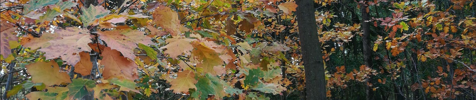
Photos


31 photos in total. Please click on a photo to see them all in the gallery.
Positioning
Country:
Belgium
Region :
Wallonia
Department/Province :
Liège
Municipality :
Hamoir
Location:
Filot
Start:(Dec)
Start:(UTM)
682344 ; 5588880 (31U) N.
Comments