


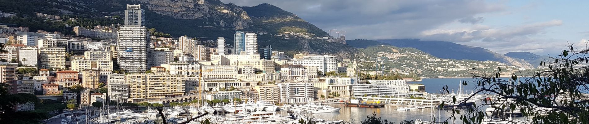
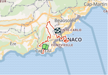
Rando Cap D'Ail-Tete de chien-La Turbie-Monaco

coriace
User


3h32
Difficulty : Medium

FREE GPS app for hiking
 SityTrail
IGN / Geographical institutes
SityTrail Plus
The world is yours!
About
Trail Walking of 14.3 km to be discovered at Provence-Alpes-Côte d'Azur, Maritime Alps, Cap-d'Ail. This trail is proposed by coriace.
Description
De la gare Nice Riquier. Arrêt Cap D'Ail pour départ rando vers la tête de chien. Bifurcation vers La Turbie et descente vers Monaco. Ballade dans Monaco avec visitation du château. Retour gare de Monaco pour la gare de Nice Riquier
Photos


Positioning
Comments