


At the end vertel difficult

gossim2
User
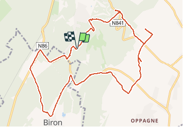

Length
12.7 km

Max alt
295 m

Uphill gradient
211 m
Km-Effort
15.6 km

Min alt
191 m

Downhill gradient
212 m
Boucle
Yes
Creation date :
2020-10-31 10:08:00.0
Updated on :
2020-10-31 14:04:54.144
3h56
Difficulty : Difficult

FREE GPS app for hiking
 SityTrail
IGN / Geographical institutes
SityTrail Plus
The world is yours!
About
Trail Walking of 12.7 km to be discovered at Wallonia, Luxembourg, Durbuy. This trail is proposed by gossim2.
Description
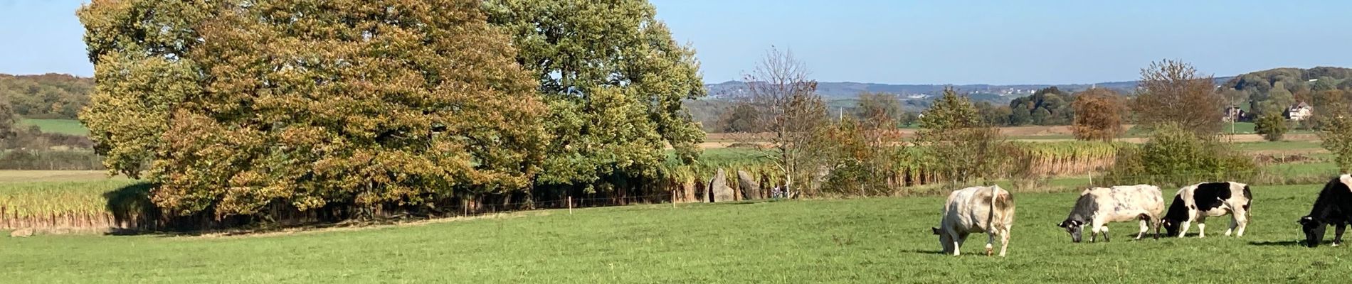
Walk
Photos


Positioning
Country:
Belgium
Region :
Wallonia
Department/Province :
Luxembourg
Municipality :
Durbuy
Location:
Barvaux
Start:(Dec)
Start:(UTM)
677328 ; 5577671 (31U) N.
Comments