


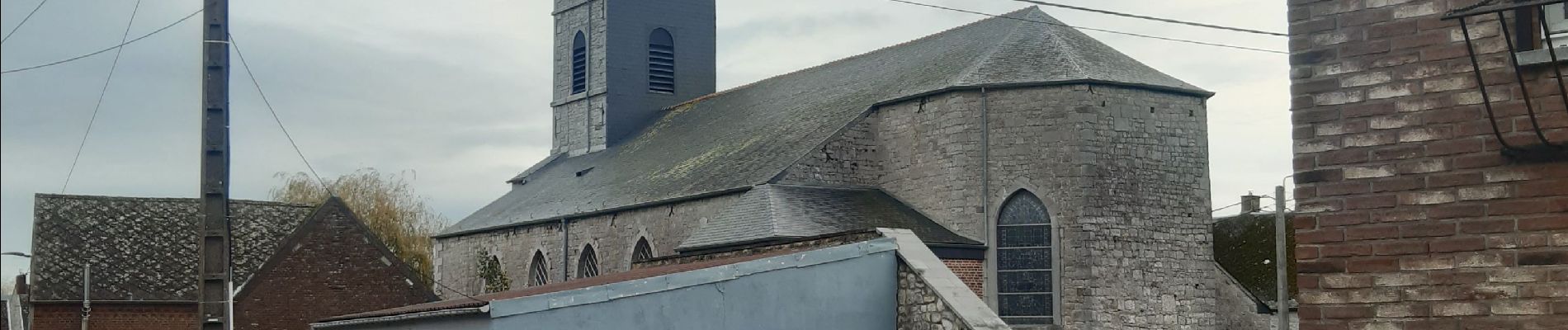
Ermeton sur Biert

Thierry Dehalleux
User
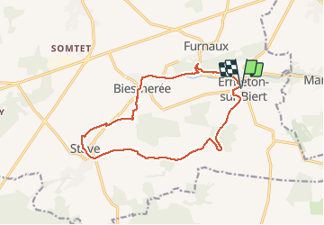

Length
13.6 km

Max alt
274 m

Uphill gradient
201 m
Km-Effort
16.3 km

Min alt
196 m

Downhill gradient
201 m
Boucle
Yes
Creation date :
2020-11-01 06:25:17.863
Updated on :
2020-11-01 09:32:06.698
2h52
Difficulty : Very easy

FREE GPS app for hiking
 SityTrail
IGN / Geographical institutes
SityTrail Plus
The world is yours!
About
Trail Walking of 13.6 km to be discovered at Wallonia, Namur, Mettet. This trail is proposed by Thierry Dehalleux.
Description
Marche facile
Photos


Positioning
Country:
Belgium
Region :
Wallonia
Department/Province :
Namur
Municipality :
Mettet
Location:
Ermeton-sur-Biert
Start:(Dec)
Start:(UTM)
622435 ; 5573122 (31U) N.
Comments