


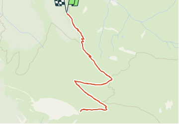


9.1 km | 18.9 km-effort


User


FREE GPS app for hiking
 SityTrail
IGN / Geographical institutes
SityTrail World
The world is yours!
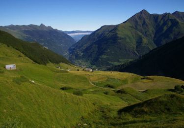
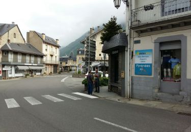
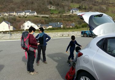
Trail On foot of 5.9 km to be discovered at Occitania, Hautespyrenees, Luz-Saint-Sauveur. This trail is proposed by mitch1952.
Plusieurs départ possible en f(de la forme du jour)

Walking
Walking

On foot

Walking

Walking
On foot
Walking
On foot
Walking