


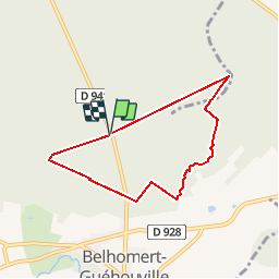

5.3 km | 6.1 km-effort


User


FREE GPS app for hiking
 SityTrail
IGN / Geographical institutes
SityTrail World
The world is yours!
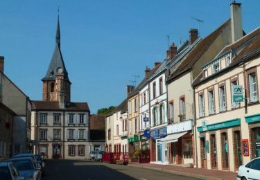
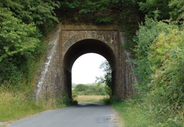
Trail Walking of 6 km to be discovered at Centre-Loire Valley, Eure-et-Loir, Belhomert-Guéhouville. This trail is proposed by ODDAD78.
Les horizons de la vallée de l'Eure
![Trail On foot Senonches - [Itinéraire] En pays senonchois - Photo](https://media.geolcdn.com/t/375/260/ext.jpg?maxdim=2&url=https%3A%2F%2Fmedia.geolcdn.com%2Ff%2F61bc1a20-8230-4087-9a08-2621b726d935.jpeg)
On foot
Equestrian

Mountain bike

Walking

Mountain bike
Walking
Walking

Walking
Mountain bike