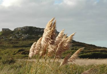
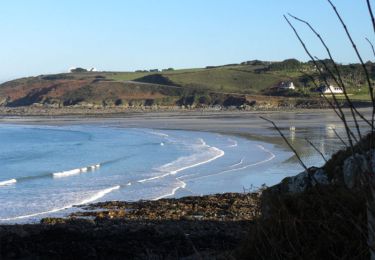
18.4 km | 24 km-effort
st jean
vsellier
User
Length
24 km
Max alt
79 m
Uphill gradient
387 m
Km-Effort
30 km
Min alt
0 m
Downhill gradient
382 m
Boucle
No
Creation date :
2014-12-10 00:00:00.0
Updated on :
2014-12-10 00:00:00.0
6h50
Difficulty : Unknown
FREE GPS app for hiking
About
Trail Walking of 24 km to be discovered at Brittany, Finistère, Saint-Jean-du-Doigt. This trail is proposed by vsellier.
Description
g
Positioning
Country:
France
Region :
Brittany
Department/Province :
Finistère
Municipality :
Saint-Jean-du-Doigt
Location:
Unknown
Start:(Dec)
Start:(UTM)
442840 ; 5394677 (30U) N.
Comments
Trails nearby
St Jean du Doigt et la Côte de l'Armorique
Walking
Very difficult
(1)
Saint-Jean-du-Doigt,
Brittany,
Finistère,
France
4h 30min
Yes
Bretagne nord j6 am : De Guimaec à Locquirec
Walking
Very easy
Guimaëc,
Brittany,
Finistère,
France
10.5 km | 13.2 km-effort
3h 14min
No
Bretagne nord J5 De Plougasnou à Guimaec
Walking
Difficult
Plougasnou,
Brittany,
Finistère,
France
21 km | 29 km-effort
5h 51min
No
guimaec loquirec
Nordic walking
Very easy
(1)
Guimaëc,
Brittany,
Finistère,
France
8.7 km | 11.2 km-effort
2h 30min
No
GR 34 de Velizella à plage de St Jean du doigt
Walking
Medium
Guimaëc,
Brittany,
Finistère,
France
7.2 km | 11.5 km-effort
2h 51min
No
Circuit de Beg An Fry
Walking
Medium
Guimaëc,
Brittany,
Finistère,
France
8.2 km | 11.5 km-effort
3h 18min
Yes
Randonnée de Saint Jean du Doigt à Primel Trégastel
Walking
Medium
Saint-Jean-du-Doigt,
Brittany,
Finistère,
France
13 km | 16.2 km-effort
3h 0min
Yes
De St Jean du Doigt à Plougasnou
Walking
Easy
Saint-Jean-du-Doigt,
Brittany,
Finistère,
France
4.9 km | 6.5 km-effort
1h 15min
Yes