


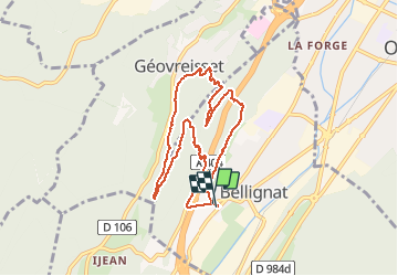
tour du Chatelard

cailloux54
User

Length
8.2 km

Max alt
723 m

Uphill gradient
230 m
Km-Effort
11.2 km

Min alt
523 m

Downhill gradient
230 m
Boucle
Yes
Creation date :
2020-11-15 13:23:14.011
Updated on :
2020-11-15 15:13:09.265
1h48
Difficulty : Easy

FREE GPS app for hiking
 SityTrail
IGN / Geographical institutes
SityTrail Plus
The world is yours!
About
Trail Walking of 8.2 km to be discovered at Auvergne-Rhône-Alpes, Ain, Bellignat. This trail is proposed by cailloux54.
Description
tour du Chatelard en montant au point Golot Geovreisset et retour par les Montains
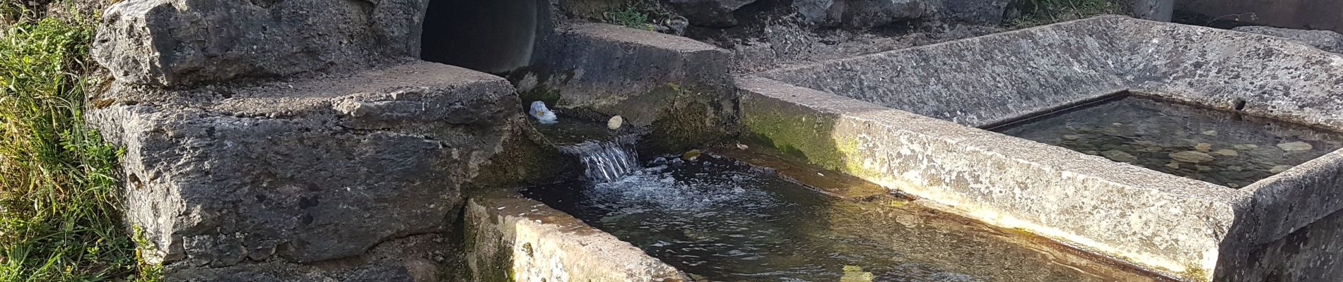
Photos


Positioning
Country:
France
Region :
Auvergne-Rhône-Alpes
Department/Province :
Ain
Municipality :
Bellignat
Location:
Unknown
Start:(Dec)
Start:(UTM)
702218 ; 5124133 (31T) N.
Comments