


Weillen 171120

guyernage25
User
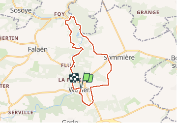

Length
13.6 km

Max alt
251 m

Uphill gradient
280 m
Km-Effort
17.4 km

Min alt
126 m

Downhill gradient
281 m
Boucle
Yes
Creation date :
2020-11-17 10:11:38.858
Updated on :
2020-11-17 14:14:53.219
3h16
Difficulty : Easy

FREE GPS app for hiking
 SityTrail
IGN / Geographical institutes
SityTrail Plus
The world is yours!
About
Trail Walking of 13.6 km to be discovered at Wallonia, Namur, Onhaye. This trail is proposed by guyernage25.
Description
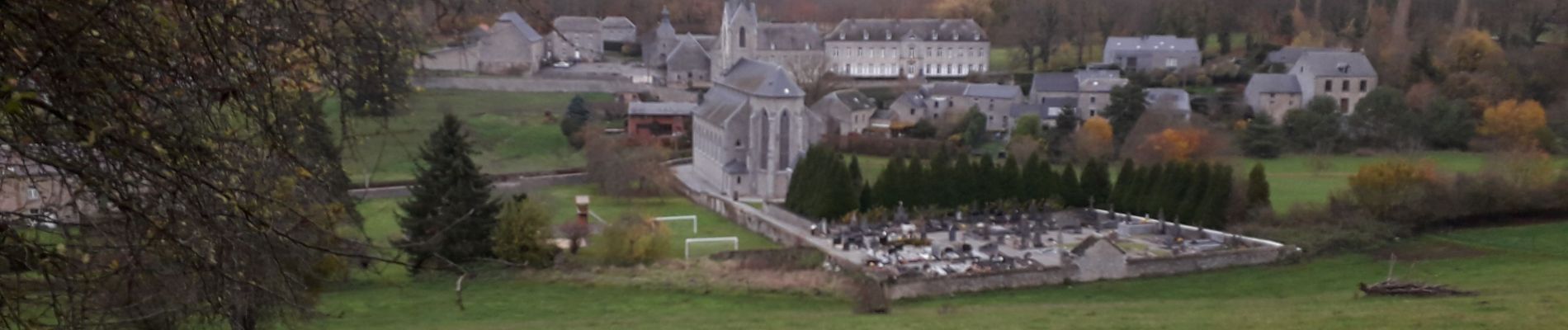
Balade en suivant le Flavion et débouchant sur les ruines du château de Montaigle. Retour par les campagnes.
Photos


Positioning
Country:
Belgium
Region :
Wallonia
Department/Province :
Namur
Municipality :
Onhaye
Location:
Weillen
Start:(Dec)
Start:(UTM)
630011 ; 5569173 (31U) N.
Comments