


mt chauve

fab4u
User
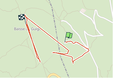

Length
1.4 km

Max alt
742 m

Uphill gradient
33 m
Km-Effort
1.8 km

Min alt
718 m

Downhill gradient
19 m
Boucle
No
Creation date :
2020-11-20 11:00:56.986
Updated on :
2020-11-20 13:49:44.615
45m
Difficulty : Very easy

FREE GPS app for hiking
 SityTrail
IGN / Geographical institutes
SityTrail Plus
The world is yours!
About
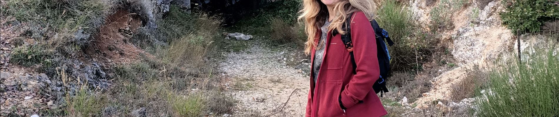
Trail Walking of 1.4 km to be discovered at Provence-Alpes-Côte d'Azur, Maritime Alps, Tourrette-Levens. This trail is proposed by fab4u.
Photos

Positioning
Country:
France
Region :
Provence-Alpes-Côte d'Azur
Department/Province :
Maritime Alps
Municipality :
Tourrette-Levens
Location:
Unknown
Start:(Dec)
Start:(UTM)
360023 ; 4848250 (32T) N.
Comments