


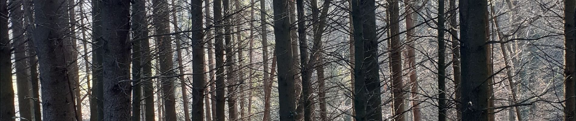
bois noir-chambotte-néquidé

papou73
User
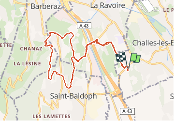

Length
11.5 km

Max alt
478 m

Uphill gradient
284 m
Km-Effort
15.3 km

Min alt
289 m

Downhill gradient
281 m
Boucle
Yes
Creation date :
2020-11-24 12:10:07.676
Updated on :
2020-11-24 15:01:41.065
2h27
Difficulty : Very easy

FREE GPS app for hiking
 SityTrail
IGN / Geographical institutes
SityTrail Plus
The world is yours!
About
Trail Walking of 11.5 km to be discovered at Auvergne-Rhône-Alpes, Savoy, Challes-les-Eaux. This trail is proposed by papou73.
Photos


Positioning
Country:
France
Region :
Auvergne-Rhône-Alpes
Department/Province :
Savoy
Municipality :
Challes-les-Eaux
Location:
Unknown
Start:(Dec)
Start:(UTM)
731998 ; 5047529 (31T) N.
Comments