


Marche_Chateaudun_20140326

chlafaille
User
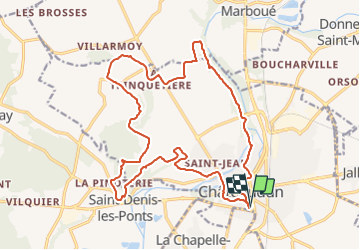

Length
21 km

Max alt
154 m

Uphill gradient
254 m
Km-Effort
24 km

Min alt
105 m

Downhill gradient
256 m
Boucle
Yes
Creation date :
2014-12-10 00:00:00.0
Updated on :
2014-12-10 00:00:00.0
3h42
Difficulty : Difficult

FREE GPS app for hiking
 SityTrail
IGN / Geographical institutes
SityTrail Plus
The world is yours!
About
Trail Nordic walking of 21 km to be discovered at Centre-Loire Valley, Eure-et-Loir, Châteaudun. This trail is proposed by chlafaille.
Description
INFORMATION: mon GPS s'est "désaligné" sur la portion Est de mon parcours (entre "le Moulin à Tan" et "Le Croc Marbot")... il faut bien suivre le GR35 sur cette partie.
Positioning
Country:
France
Region :
Centre-Loire Valley
Department/Province :
Eure-et-Loir
Municipality :
Châteaudun
Location:
Unknown
Start:(Dec)
Start:(UTM)
375707 ; 5325067 (31U) N.
Comments