


Col des fretes depuis Planfait

sandra_leb
User
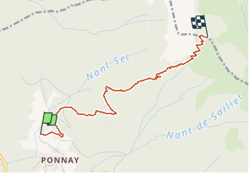

Length
3.1 km

Max alt
1636 m

Uphill gradient
768 m
Km-Effort
10.8 km

Min alt
861 m

Downhill gradient
0 m
Boucle
No
Creation date :
2020-11-27 11:21:23.249
Updated on :
2020-11-27 11:23:28.158
2h26
Difficulty : Medium

FREE GPS app for hiking
 SityTrail
IGN / Geographical institutes
SityTrail Plus
The world is yours!
About
Trail Walking of 3.1 km to be discovered at Auvergne-Rhône-Alpes, Upper Savoy, Talloires-Montmin. This trail is proposed by sandra_leb.
Positioning
Country:
France
Region :
Auvergne-Rhône-Alpes
Department/Province :
Upper Savoy
Municipality :
Talloires-Montmin
Location:
Talloires
Start:(Dec)
Start:(UTM)
284581 ; 5080933 (32T) N.
Comments