


pointe de la gorgeat par col granier

papou73
User


Length
7 km

Max alt
1477 m

Uphill gradient
394 m
Km-Effort
12.3 km

Min alt
1128 m

Downhill gradient
392 m
Boucle
Yes
Creation date :
2020-11-29 13:00:37.343
Updated on :
2020-11-29 16:32:09.815
1h50
Difficulty : Very easy

FREE GPS app for hiking
 SityTrail
IGN / Geographical institutes
SityTrail Plus
The world is yours!
About
Trail Walking of 7 km to be discovered at Auvergne-Rhône-Alpes, Savoy, Apremont. This trail is proposed by papou73.
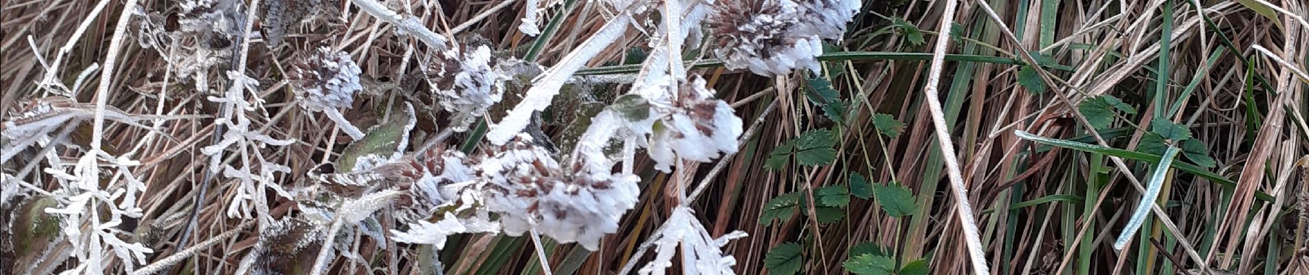
Photos


26 photos in total. Please click on a photo to see them all in the gallery.
Positioning
Country:
France
Region :
Auvergne-Rhône-Alpes
Department/Province :
Savoy
Municipality :
Apremont
Location:
Unknown
Start:(Dec)
Start:(UTM)
727647 ; 5040324 (31T) N.
Comments