


Boucle depuis le col de la charmette par le col et le goulet d'hurtiere - 29 nov 2020

morganee
User
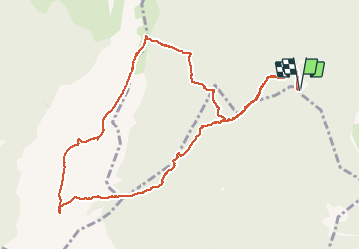

Length
12 km

Max alt
1756 m

Uphill gradient
536 m
Km-Effort
19.1 km

Min alt
1277 m

Downhill gradient
536 m
Boucle
Yes
Creation date :
2020-11-29 08:43:04.106
Updated on :
2020-11-29 16:46:10.696
6h00
Difficulty : Medium

FREE GPS app for hiking
 SityTrail
IGN / Geographical institutes
SityTrail Plus
The world is yours!
About
Trail Walking of 12 km to be discovered at Auvergne-Rhône-Alpes, Isère, Saint-Pierre-de-Chartreuse. This trail is proposed by morganee.
Description
boucle sympa, pique-nique au soleil
Positioning
Country:
France
Region :
Auvergne-Rhône-Alpes
Department/Province :
Isère
Municipality :
Saint-Pierre-de-Chartreuse
Location:
Unknown
Start:(Dec)
Start:(UTM)
714765 ; 5022368 (31T) N.
Comments