


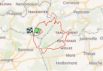
Tancrement -Banneux 13Km

Efr
User

Length
13.3 km

Max alt
333 m

Uphill gradient
399 m
Km-Effort
18.6 km

Min alt
153 m

Downhill gradient
400 m
Boucle
Yes
Creation date :
2020-12-02 20:59:58.209
Updated on :
2024-11-18 20:42:31.178
4h13
Difficulty : Difficult

FREE GPS app for hiking
 SityTrail
IGN / Geographical institutes
SityTrail Plus
The world is yours!
About
Trail Walking of 13.3 km to be discovered at Wallonia, Liège, Theux. This trail is proposed by Efr.
Description
Départ :Tancrement
Positioning
Country:
Belgium
Region :
Wallonia
Department/Province :
Liège
Municipality :
Theux
Location:
Theux
Start:(Dec)
Start:(UTM)
697240 ; 5603673 (31U) N.
Comments