


maboge

Chanchan63
User
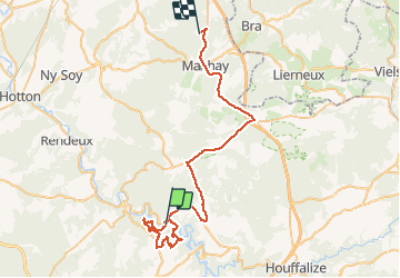

Length
47 km

Max alt
652 m

Uphill gradient
1120 m
Km-Effort
61 km

Min alt
234 m

Downhill gradient
867 m
Boucle
No
Creation date :
2020-12-06 10:14:27.694
Updated on :
2020-12-06 17:37:05.391
6h11
Difficulty : Very easy

FREE GPS app for hiking
 SityTrail
IGN / Geographical institutes
SityTrail Plus
The world is yours!
About
Trail Walking of 47 km to be discovered at Wallonia, Luxembourg, La Roche-en-Ardenne. This trail is proposed by Chanchan63.
Description
Très belle
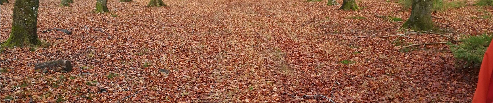
Photos


Positioning
Country:
Belgium
Region :
Wallonia
Department/Province :
Luxembourg
Municipality :
La Roche-en-Ardenne
Location:
Samrée
Start:(Dec)
Start:(UTM)
687661 ; 5560554 (31U) N.
Comments