


Aubignas Chenavari 16km

chancha
User GUIDE
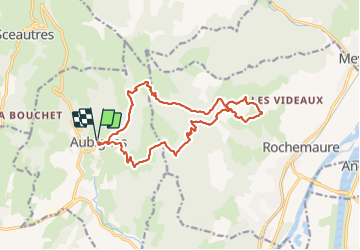

Length
16.5 km

Max alt
604 m

Uphill gradient
684 m
Km-Effort
26 km

Min alt
306 m

Downhill gradient
683 m
Boucle
Yes
Creation date :
2020-12-13 08:41:15.996
Updated on :
2022-02-28 11:39:13.666
5h10
Difficulty : Difficult

FREE GPS app for hiking
 SityTrail
IGN / Geographical institutes
SityTrail Plus
The world is yours!
About
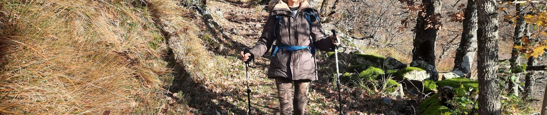
Trail Walking of 16.5 km to be discovered at Auvergne-Rhône-Alpes, Ardèche, Aubignas. This trail is proposed by chancha.
Photos


Positioning
Country:
France
Region :
Auvergne-Rhône-Alpes
Department/Province :
Ardèche
Municipality :
Aubignas
Location:
Unknown
Start:(Dec)
Start:(UTM)
629652 ; 4938571 (31T) N.
Comments