


La Maltournée Chapelle des Buis 2020-12-22 CAF

TRIMAILLE
User
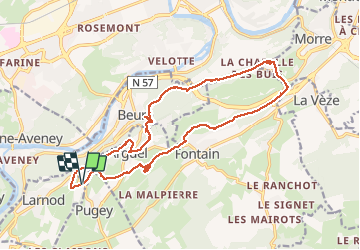

Length
18.2 km

Max alt
504 m

Uphill gradient
576 m
Km-Effort
26 km

Min alt
259 m

Downhill gradient
570 m
Boucle
Yes
Creation date :
2020-12-22 16:08:56.096
Updated on :
2021-01-30 13:58:30.048
5h26
Difficulty : Difficult

FREE GPS app for hiking
 SityTrail
IGN / Geographical institutes
SityTrail Plus
The world is yours!
About
Trail Walking of 18.2 km to be discovered at Bourgogne-Franche-Comté, Doubs, Larnod. This trail is proposed by TRIMAILLE.
Description
Départ à la Maltournée.
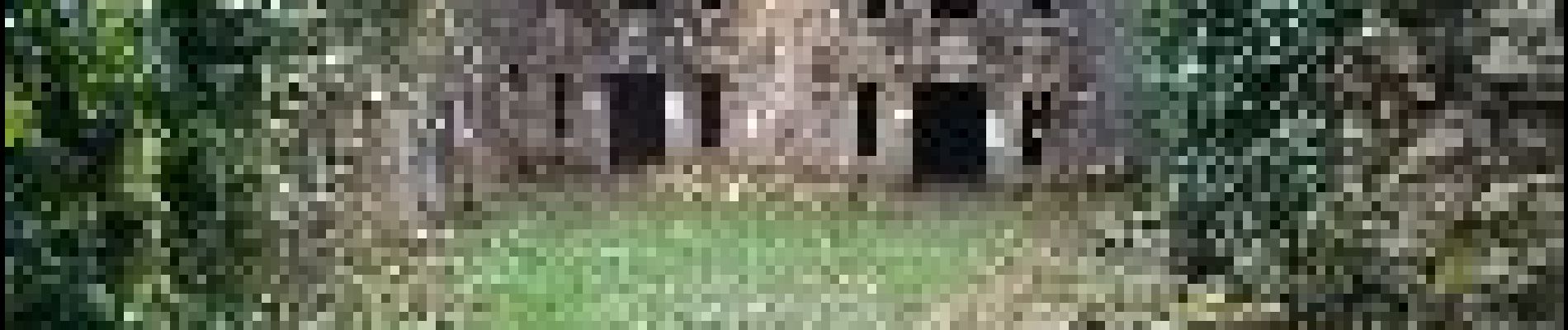
Photos


Positioning
Country:
France
Region :
Bourgogne-Franche-Comté
Department/Province :
Doubs
Municipality :
Larnod
Location:
Unknown
Start:(Dec)
Start:(UTM)
726228 ; 5230718 (31T) N.
Comments