


Saoû Lestang 6km

thonyc
User GUIDE
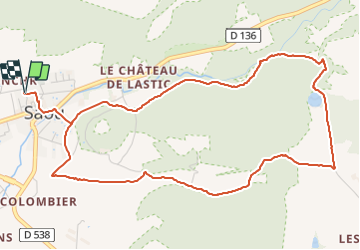

Length
6.5 km

Max alt
436 m

Uphill gradient
162 m
Km-Effort
8.6 km

Min alt
328 m

Downhill gradient
161 m
Boucle
Yes
Creation date :
2020-12-27 08:54:04.919
Updated on :
2021-10-08 16:12:06.328
2h00
Difficulty : Very easy

FREE GPS app for hiking
 SityTrail
IGN / Geographical institutes
SityTrail Plus
The world is yours!
About
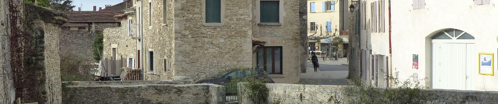
Trail Walking of 6.5 km to be discovered at Auvergne-Rhône-Alpes, Drôme, Saou. This trail is proposed by thonyc.
Photos


24 photos in total. Please click on a photo to see them all in the gallery.
Positioning
Country:
France
Region :
Auvergne-Rhône-Alpes
Department/Province :
Drôme
Municipality :
Saou
Location:
Unknown
Start:(Dec)
Start:(UTM)
663436 ; 4945808 (31T) N.
Comments