


de valfaunes vers le moulin de la foux

labarone
User
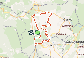

Length
18.3 km

Max alt
362 m

Uphill gradient
411 m
Km-Effort
24 km

Min alt
172 m

Downhill gradient
412 m
Boucle
Yes
Creation date :
2020-12-29 08:28:12.045
Updated on :
2020-12-29 14:30:02.441
4h21
Difficulty : Easy

FREE GPS app for hiking
 SityTrail
IGN / Geographical institutes
SityTrail Plus
The world is yours!
About
Trail Walking of 18.3 km to be discovered at Occitania, Hérault, Claret. This trail is proposed by labarone.
Description
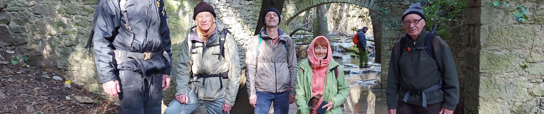
tranquille belle vue au moulin
Photos


Positioning
Country:
France
Region :
Occitania
Department/Province :
Hérault
Municipality :
Claret
Location:
Unknown
Start:(Dec)
Start:(UTM)
568878 ; 4854718 (31T) N.
Comments