


Mozac la coulée de l'Ambène et l'ancienne voie férrée de Chatel 12 km 220 dénivelé

jeanic63
User
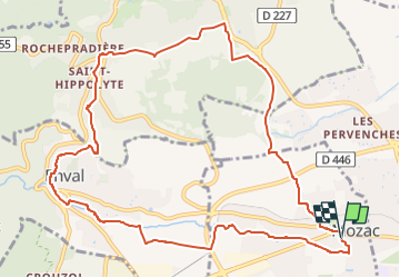

Length
12.4 km

Max alt
499 m

Uphill gradient
220 m
Km-Effort
15.3 km

Min alt
355 m

Downhill gradient
218 m
Boucle
Yes
Creation date :
2021-01-08 09:05:15.453
Updated on :
2025-04-11 12:37:11.67
3h28
Difficulty : Easy

FREE GPS app for hiking
 SityTrail
IGN / Geographical institutes
SityTrail Plus
The world is yours!
About
Trail On foot of 12.4 km to be discovered at Auvergne-Rhône-Alpes, Puy-de-Dôme, Mozac. This trail is proposed by jeanic63.
Description
départ Mozac parking place Camille Rigal
Positioning
Country:
France
Region :
Auvergne-Rhône-Alpes
Department/Province :
Puy-de-Dôme
Municipality :
Mozac
Location:
Unknown
Start:(Dec)
Start:(UTM)
507218 ; 5082195 (31T) N.
Comments