Trail Cross-country skiing Escragnolles - panoramique enneigé - Photo
© OpenStreetMap contributors
Length
Length
5.8 km
Max alt
Max alt
1157 m
Uphill gradient
Uphill gradient
150 m
Km-Effort
Km-Effort  
7.8 km
Min alt
Min alt
1037 m
Downhill gradient
Downhill gradient
150 m
Boucle
Boucle
Yes
Creation date :
2021-01-10 13:49:32.334
Updated on :
2021-01-15 12:58:25.829

(0 Reviews)

Cross-country skiing
2h00
Difficulty : Very easy
Snowshoes
Snowshoes
2h00
Difficulty : Easy

Scan this QR Code to open this trail in the SityTrail application

FREE GPS app for hiking

Logo SityTrail SityTrail

IGN / Geographical institutes

Download SityTrail from the App Store Download SityTrail from Google Play

Logo SityTrail SityTrail Plus

The world is yours!

Download SityTrail from the App Store Download SityTrail from Google Play Download SityTrail on Huawei AppGallery

About

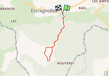
Trail Cross-country skiing of 5.8 km to be discovered at Provence-Alpes-Côte d'Azur, Maritime Alps, Escragnolles. This trail is proposed by Palimpseste.

Description

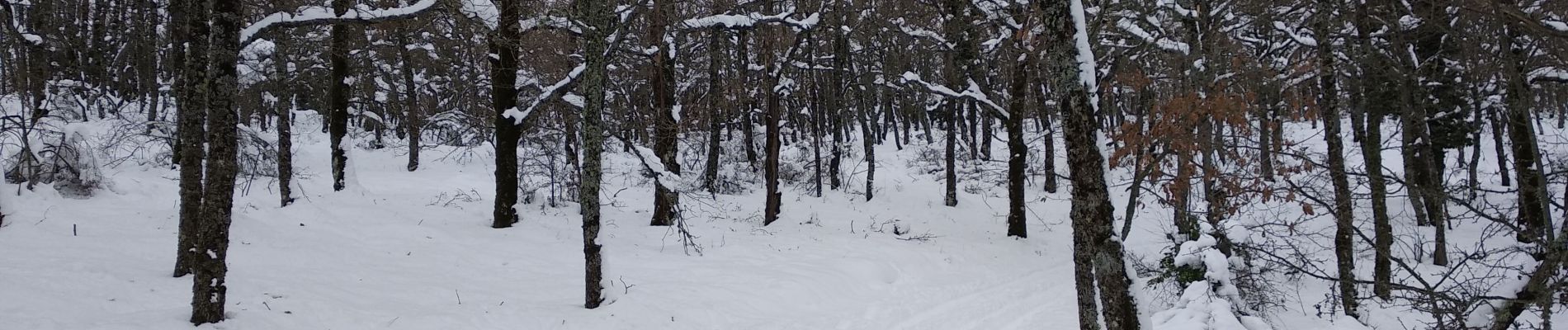
Promenade facile pour atteindre de grands champs de neige et une vue panoramique sur la côte de Nice au massif des Maures dans le lointain. Le tracé suit la piste sauf un détour au sommet  pour profiter de la neige en sous-bois.

Elevation profile

Photos

Positioning

Country:
France
Region :
Provence-Alpes-Côte d'Azur
Department/Province :
Maritime Alps
Municipality :
Escragnolles
Location:
Unknown
Start:(UTM)
322304 ; 4844109 (32T) N.


Close
My subscriptions