


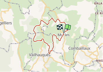
autour de murles 34

labarone
User

Length
15.1 km

Max alt
290 m

Uphill gradient
428 m
Km-Effort
21 km

Min alt
97 m

Downhill gradient
431 m
Boucle
Yes
Creation date :
2021-01-19 08:19:11.708
Updated on :
2021-01-19 13:07:29.96
3h34
Difficulty : Medium

FREE GPS app for hiking
 SityTrail
IGN / Geographical institutes
SityTrail Plus
The world is yours!
About
Trail Walking of 15.1 km to be discovered at Occitania, Hérault, Murles. This trail is proposed by labarone.
Description
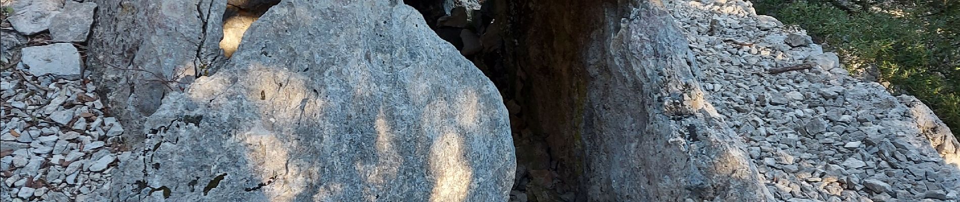
des pierres..des pierres...des pierres ...
hélas ! de jolies villages !!
Photos


Positioning
Country:
France
Region :
Occitania
Department/Province :
Hérault
Municipality :
Murles
Location:
Unknown
Start:(Dec)
Start:(UTM)
560126 ; 4837701 (31T) N.
Comments