


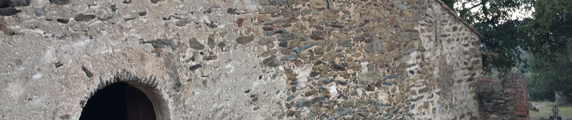
Fontcouverte 3 chapelles

robertperello
User
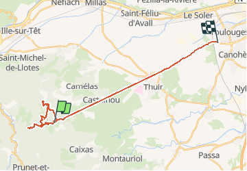

Length
28 km

Max alt
688 m

Uphill gradient
662 m
Km-Effort
38 km

Min alt
66 m

Downhill gradient
1164 m
Boucle
No
Creation date :
2021-01-20 09:10:24.0
Updated on :
2021-01-20 15:07:56.164
3h46
Difficulty : Difficult

FREE GPS app for hiking
 SityTrail
IGN / Geographical institutes
SityTrail Plus
The world is yours!
About
Trail Walking of 28 km to be discovered at Occitania, Pyrénées-Orientales, Caixas. This trail is proposed by robertperello.
Description
Difficile si chemin abrupt
Photos


Positioning
Country:
France
Region :
Occitania
Department/Province :
Pyrénées-Orientales
Municipality :
Caixas
Location:
Unknown
Start:(Dec)
Start:(UTM)
471853 ; 4716751 (31T) N.
Comments