


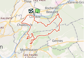
Chaléze Montfaucon Arcier 2021-01-21 CAF

TRIMAILLE
User


6h09
Difficulty : Difficult

FREE GPS app for hiking
 SityTrail
IGN / Geographical institutes
SityTrail Plus
The world is yours!
About
Trail Walking of 21 km to be discovered at Bourgogne-Franche-Comté, Doubs, Chalèze. This trail is proposed by TRIMAILLE.
Description
Départ à Chaléze du parking de l'église.
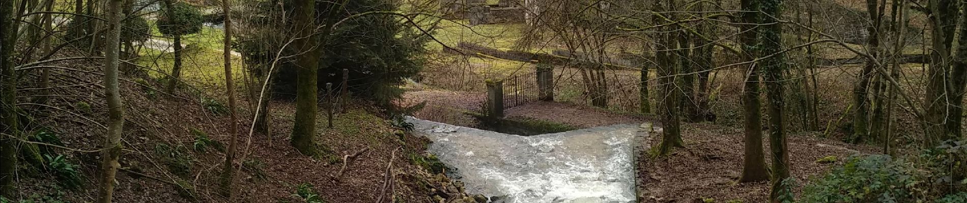
A voir Château et fort de Montfaucon, Fort des Epesses, Sapin et chêne président (a proximité cabane de chasse pour pique niquer), sources Bergeret et source d'Arcier
Photos


Positioning
Comments