


13.5 km | 17.2 km-effort

User


FREE GPS app for hiking
 SityTrail
IGN / Geographical institutes
SityTrail World
The world is yours!
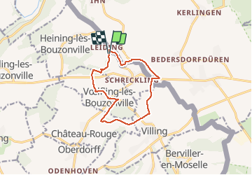
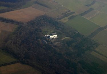
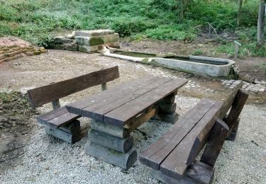
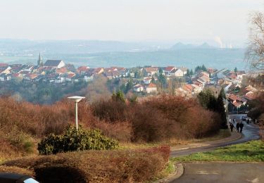
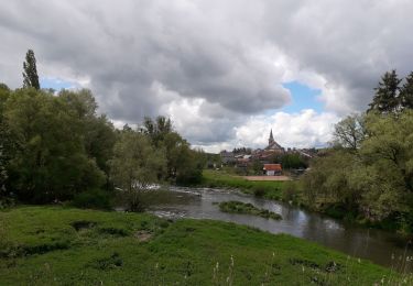
Trail Walking of 10.1 km to be discovered at Grand Est, Moselle, Heining-lès-Bouzonville. This trail is proposed by ICOL240659.


On foot
On foot
On foot
On foot
On foot

Walking
Mountain bike
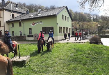
Horseback riding
On foot