


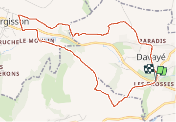
Davayé Vergisson vers Solutré. Davayé

janussity
User

Length
5.7 km

Max alt
336 m

Uphill gradient
191 m
Km-Effort
8.2 km

Min alt
217 m

Downhill gradient
190 m
Boucle
Yes
Creation date :
2021-01-24 13:07:52.811
Updated on :
2021-01-24 14:55:01.508
1h30
Difficulty : Easy

FREE GPS app for hiking
 SityTrail
IGN / Geographical institutes
SityTrail Plus
The world is yours!
About
Trail Walking of 5.7 km to be discovered at Bourgogne-Franche-Comté, Saône-et-Loire, Davayé. This trail is proposed by janussity.
Description
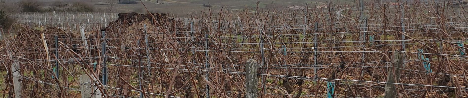
temps couvert mais dégagé vers les Alpes.
Belle vue sur Mt Blanc et Belledonne.
Photos


Positioning
Country:
France
Region :
Bourgogne-Franche-Comté
Department/Province :
Saône-et-Loire
Municipality :
Davayé
Location:
Unknown
Start:(Dec)
Start:(UTM)
634132 ; 5129130 (31T) N.
Comments