


Cessey 2021-01-26 rando CAF

TRIMAILLE
User
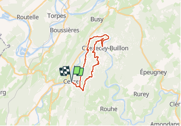

Length
22 km

Max alt
541 m

Uphill gradient
651 m
Km-Effort
31 km

Min alt
266 m

Downhill gradient
648 m
Boucle
Yes
Creation date :
2021-01-26 08:03:30.126
Updated on :
2021-01-26 17:43:20.764
5h00
Difficulty : Difficult

FREE GPS app for hiking
 SityTrail
IGN / Geographical institutes
SityTrail Plus
The world is yours!
About
Trail Walking of 22 km to be discovered at Bourgogne-Franche-Comté, Doubs, Cessey. This trail is proposed by TRIMAILLE.
Description
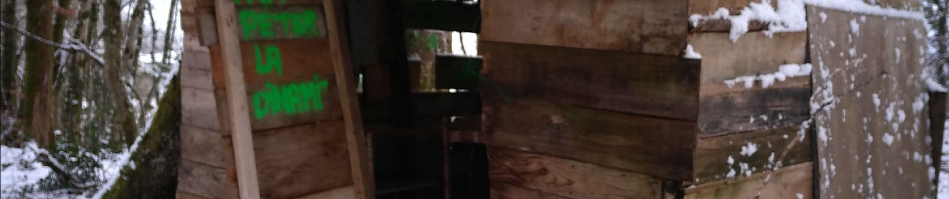
Départ du village de Cessey. Rando en majorité en forêt, panoramas, château en ruine, bord de la Loue.
Photos


Positioning
Country:
France
Region :
Bourgogne-Franche-Comté
Department/Province :
Doubs
Municipality :
Cessey
Location:
Unknown
Start:(Dec)
Start:(UTM)
721027 ; 5221219 (31T) N.
Comments