


P.Partie Ventoux sud

MarcLEBARON
User

Length
19.3 km

Max alt
1328 m

Uphill gradient
1207 m
Km-Effort
35 km

Min alt
429 m

Downhill gradient
1212 m
Boucle
Yes
Creation date :
2014-12-10 00:00:00.0
Updated on :
2014-12-10 00:00:00.0
5h49
Difficulty : Difficult

FREE GPS app for hiking
 SityTrail
IGN / Geographical institutes
SityTrail Plus
The world is yours!
About
Trail Walking of 19.3 km to be discovered at Provence-Alpes-Côte d'Azur, Vaucluse, Bédoin. This trail is proposed by MarcLEBARON.
Description
Boucle
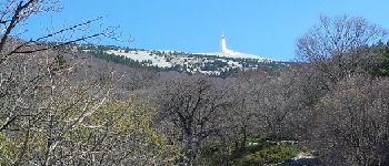
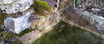
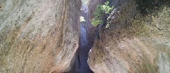
Photos


Positioning
Country:
France
Region :
Provence-Alpes-Côte d'Azur
Department/Province :
Vaucluse
Municipality :
Bédoin
Location:
Unknown
Start:(Dec)
Start:(UTM)
675864 ; 4889616 (31T) N.
Comments
pleine pente