


2021-02-05-1

Valmeinier
User
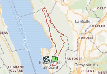

Length
15.1 km

Max alt
845 m

Uphill gradient
677 m
Km-Effort
24 km

Min alt
267 m

Downhill gradient
677 m
Boucle
Yes
Creation date :
2021-02-06 06:58:45.147
Updated on :
2021-02-06 07:00:52.79
5h28
Difficulty : Very difficult

FREE GPS app for hiking
 SityTrail
IGN / Geographical institutes
SityTrail Plus
The world is yours!
About
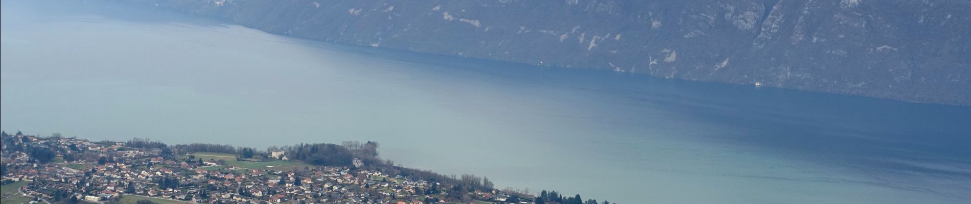
Trail Walking of 15.1 km to be discovered at Auvergne-Rhône-Alpes, Savoy, Brison-Saint-Innocent. This trail is proposed by Valmeinier.
Photos

Positioning
Country:
France
Region :
Auvergne-Rhône-Alpes
Department/Province :
Savoy
Municipality :
Brison-Saint-Innocent
Location:
Unknown
Start:(Dec)
Start:(UTM)
724937 ; 5067067 (31T) N.
Comments