


Combe d'ansis & Jas

MarcLEBARON
User
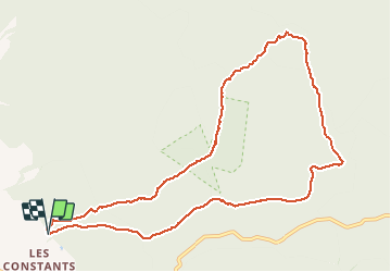

Length
11.4 km

Max alt
1150 m

Uphill gradient
642 m
Km-Effort
19.9 km

Min alt
518 m

Downhill gradient
637 m
Boucle
Yes
Creation date :
2021-02-07 09:05:10.329
Updated on :
2021-02-07 13:07:45.586
3h10
Difficulty : Medium

FREE GPS app for hiking
 SityTrail
IGN / Geographical institutes
SityTrail Plus
The world is yours!
About
Trail Walking of 11.4 km to be discovered at Provence-Alpes-Côte d'Azur, Vaucluse, Bédoin. This trail is proposed by MarcLEBARON.
Description
Boucle
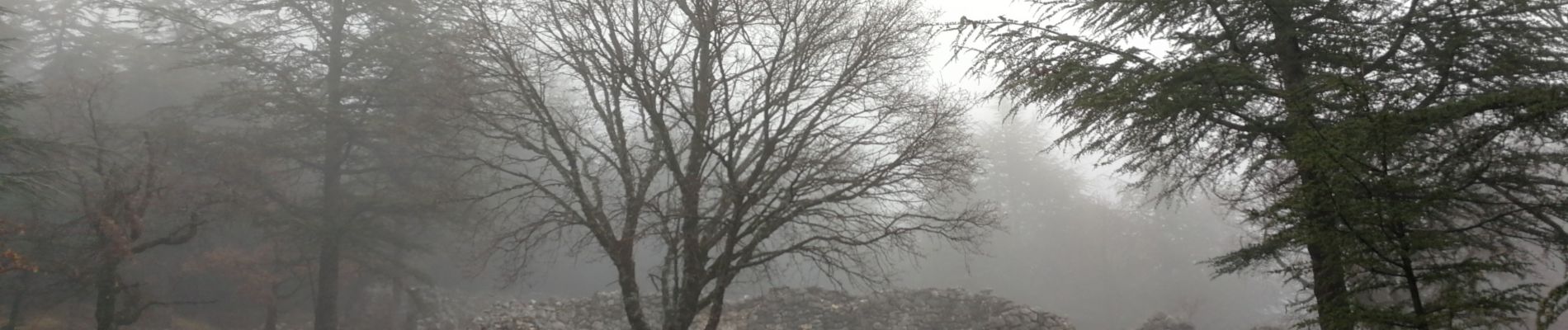
Photos


Positioning
Country:
France
Region :
Provence-Alpes-Côte d'Azur
Department/Province :
Vaucluse
Municipality :
Bédoin
Location:
Unknown
Start:(Dec)
Start:(UTM)
678305 ; 4888170 (31T) N.
Comments