


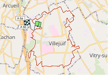
Le tour de Villejuif

c.chehere
User

Length
13.2 km

Max alt
136 m

Uphill gradient
139 m
Km-Effort
15.1 km

Min alt
64 m

Downhill gradient
144 m
Boucle
Yes
Creation date :
2021-02-09 09:01:47.996
Updated on :
2021-02-09 13:21:12.086
3h32
Difficulty : Very easy

FREE GPS app for hiking
 SityTrail
IGN / Geographical institutes
SityTrail Plus
The world is yours!
About
Trail Walking of 13.2 km to be discovered at Ile-de-France, Val-de-Marne, Villejuif. This trail is proposed by c.chehere.
Description
Des inégalités, des passages intéressants et des longueurs.
Balisage très irrégulier, des manques sur de grandes longueurs.
Perso, j'ai utilisé les transports. Le bus 162 arrêt" IGR"
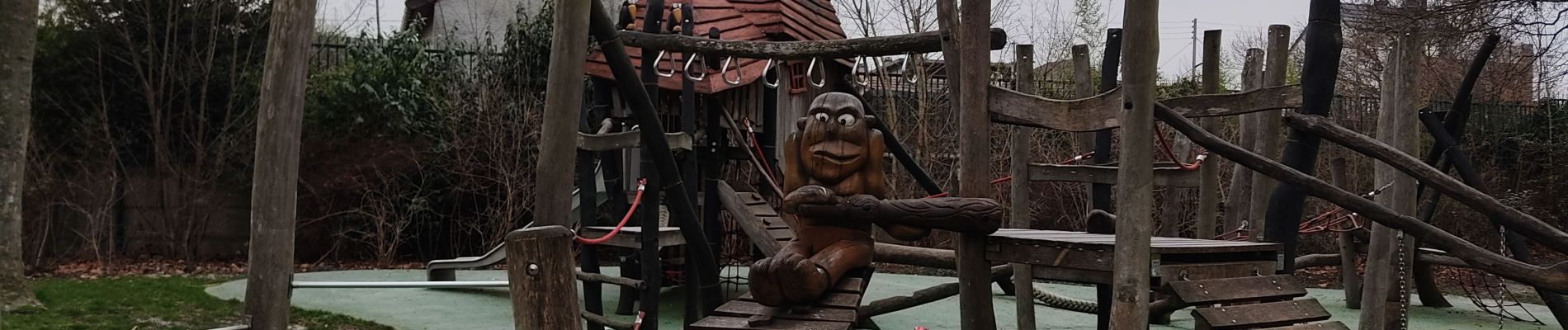
Photos

Positioning
Country:
France
Region :
Ile-de-France
Department/Province :
Val-de-Marne
Municipality :
Villejuif
Location:
Unknown
Start:(Dec)
Start:(UTM)
452273 ; 5405088 (31U) N.
Comments