


Luxemburg - 2013-11 Rendeux - Beffe tot aan Ourthe

misph
User
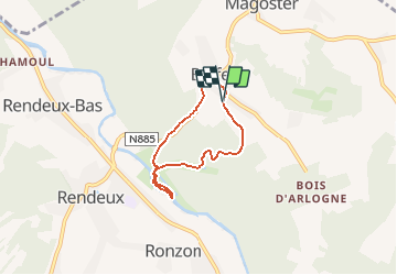

Length
4.4 km

Max alt
349 m

Uphill gradient
157 m
Km-Effort
6.5 km

Min alt
190 m

Downhill gradient
159 m
Boucle
Yes
Creation date :
2016-01-12 00:00:00.0
Updated on :
2016-01-12 00:00:00.0
1h23
Difficulty : Easy

FREE GPS app for hiking
 SityTrail
IGN / Geographical institutes
SityTrail Plus
The world is yours!
About
Trail Walking of 4.4 km to be discovered at Wallonia, Luxembourg, Rendeux. This trail is proposed by misph.
Description
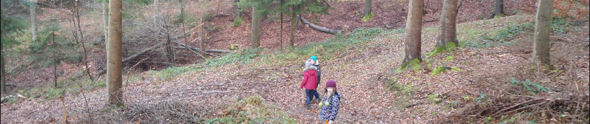
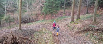
Een wandeling in de bossen tussen Rendeux en Beffe met kleine kinderen. Wij deden de wandeling in december 2013 en de kinderen genoten van de wandeling door het bos.
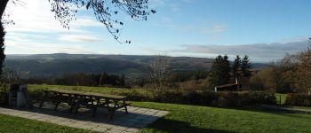
Photos


Positioning
Country:
Belgium
Region :
Wallonia
Department/Province :
Luxembourg
Municipality :
Rendeux
Location:
Beffe
Start:(Dec)
Start:(UTM)
680049 ; 5568652 (31U) N.
Comments