Trail Walking Pailherols - rando sentier des  gentianes - Photo

rando sentier des gentianes

© OpenStreetMap contributors
Length
Length
13.1 km
Max alt
Max alt
1302 m
Uphill gradient
Uphill gradient
348 m
Km-Effort
Km-Effort  
17.7 km
Min alt
Min alt
1029 m
Downhill gradient
Downhill gradient
351 m
Boucle
Boucle
Yes
Creation date :
2021-02-11 08:46:27.324
Updated on :
2021-02-12 05:40:21.256

(0 Reviews)

Walking
Walking
3h20
Difficulty : Medium

Scan this QR Code to open this trail in the SityTrail application

FREE GPS app for hiking

Logo SityTrail SityTrail

IGN / Geographical institutes

Download SityTrail from the App Store Download SityTrail from Google Play

Logo SityTrail SityTrail World

The world is yours!

Download SityTrail from the App Store Download SityTrail from Google Play Download SityTrail on Huawei AppGallery

About

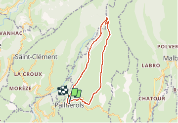
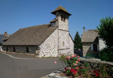
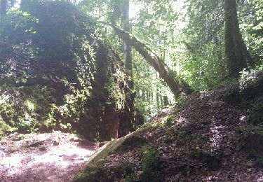
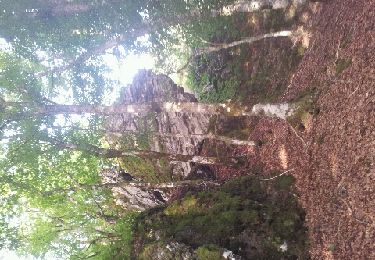
Trail Walking of 13.1 km to be discovered at Auvergne-Rhône-Alpes, Cantal, Pailherols. This trail is proposed by Sandrine 15.

Description

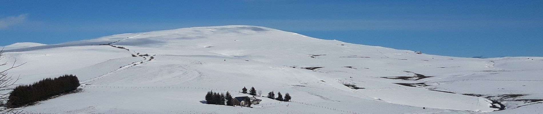
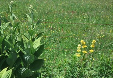
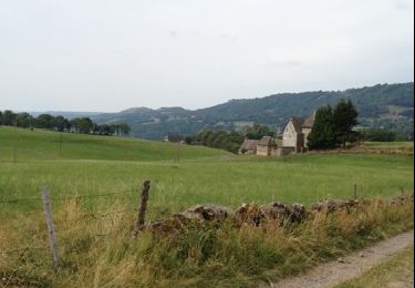
Super randonnée faite dans la neige de super vue sur nos belle montagne cantalienne et vue sur l aveyron aubrac rodez.  Ca fais plaisir de revoir nos burons de montagne intacts pars rapport a certain endroit. Bien suivre la fleur vert.

Elevation profile

Photos

Positioning

Country:
France
Region :
Auvergne-Rhône-Alpes
Department/Province :
Cantal
Municipality :
Pailherols
Location:
Unknown
Start:(UTM)
475113 ; 4977545 (31T) N.

Trails nearby

Trail Walking Pailherols - Pailherols chapelle du Cantal  - Photo
Walking
GUIDE
antignacs

Walking

Medium
Pailherols, Auvergne-Rhône-Alpes, Cantal, France
21 km | 29 km-effort
5h 29min
Yes
Trail Walking Vic-sur-Cère - Pas de Cère- cascade de Gourdole - Photo
Walking
crocau

Walking

Very easy
Vic-sur-Cère, Auvergne-Rhône-Alpes, Cantal, France
4.7 km | 6.6 km-effort
2h 0min
Yes
Trail Walking Jou-sous-Monjou - Cantal - Jou sous Monjou - 7.7km 300m 2h40 - 2019 06 27 - Photo
Walking
Orcal37

Walking

Easy
Jou-sous-Monjou, Auvergne-Rhône-Alpes, Cantal, France
7.7 km | 11.7 km-effort
2h 40min
Yes
Trail Walking Pailherols - Du refuge des Fraux au Plomb du Cantal - Photo
Walking
tracegps

Walking

Difficult
Pailherols, Auvergne-Rhône-Alpes, Cantal, France
22 km | 32 km-effort
7h 0min
Yes
Trail Walking Pailherols - Le sentier des gentianes - Pailherols - Photo
Walking
tracegps

Walking

Medium
Pailherols, Auvergne-Rhône-Alpes, Cantal, France
13.7 km | 18.4 km-effort
3h 30min
Yes
Trail Walking Pailherols - Vallée de Monjou.  - Photo
Walking
th.feur

Walking

Very easy
(1)
Pailherols, Auvergne-Rhône-Alpes, Cantal, France
15.5 km | 21 km-effort
5h 32min
Yes
Trail Walking Vic-sur-Cère - La Via Arverna (Vic-sur-Cère - Aurillac) - Photo
Walking
tracegps

Walking

Difficult
Vic-sur-Cère, Auvergne-Rhône-Alpes, Cantal, France
23 km | 32 km-effort
7h 0min
No
Trail Walking Vic-sur-Cère - pas de cere - Photo
Walking
lbahier

Walking

Very easy
(1)
Vic-sur-Cère, Auvergne-Rhône-Alpes, Cantal, France
4.9 km | 6.8 km-effort
2h 15min
Yes
Trail Running Vic-sur-Cère - vic sur cere - Photo
Running
lbahier

Running

Medium
Vic-sur-Cère, Auvergne-Rhône-Alpes, Cantal, France
11.7 km | 18.9 km-effort
1h 37min
Yes


Close
My subscriptions