Trail Walking Peillon - Peillon Peille  - Photo
 domi06
domi06

User

© OpenStreetMap contributors
Length
Length
11.6 km
Max alt
Max alt
767 m
Uphill gradient
Uphill gradient
640 m
Km-Effort
Km-Effort  
20 km
Min alt
Min alt
326 m
Downhill gradient
Downhill gradient
672 m
Boucle
Boucle
Yes
Creation date :
2021-02-11 08:39:55.051
Updated on :
2021-02-17 16:32:18.253

(0 Reviews)

Walking
Walking
6h23
Difficulty : Medium

Scan this QR Code to open this trail in the SityTrail application

FREE GPS app for hiking

Logo SityTrail SityTrail

IGN / Geographical institutes

Download SityTrail from the App Store Download SityTrail from Google Play

Logo SityTrail SityTrail World

The world is yours!

Download SityTrail from the App Store Download SityTrail from Google Play Download SityTrail on Huawei AppGallery

About

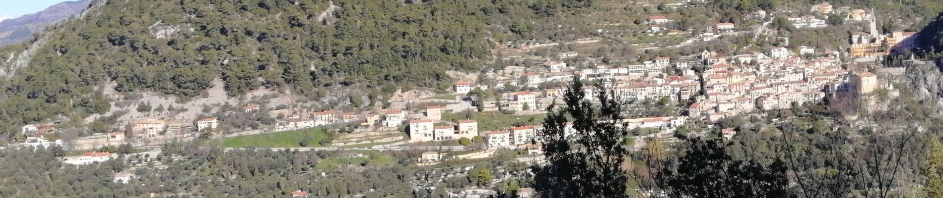
Trail Walking of 11.6 km to be discovered at Provence-Alpes-Côte d'Azur, Maritime Alps, Peillon. This trail is proposed by domi06.

Description

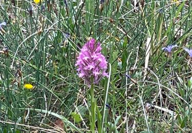
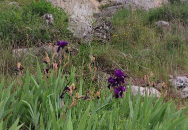
Départ du village de Peillon et progression par le sentier le long du vallon de la Launa jusqu’au col de st Pancrace. En aller retour montée à la Cime du Rastel . Puis reprise du sentier en direction de Peille en passant par la chapelle St Pancrace. Visite du village de Peille et retour par le vallon du Faquin et à l’arrivée visite du village de Peillon.
Cotation :   Effort  E3/5    Technicité T2/5    Risque R3/5

Elevation profile

Photos

Positioning

Country:
France
Region :
Provence-Alpes-Côte d'Azur
Department/Province :
Maritime Alps
Municipality :
Peillon
Location:
Unknown
Start:(UTM)
369798 ; 4848520 (32T) N.

Trails nearby

Trail Walking Peillon - Via Alpina - R161: Peillon > Monaco - Place du Palais - Photo
Walking
tracegps

Walking

Medium
(2)
Peillon, Provence-Alpes-Côte d'Azur, Maritime Alps, France
10.3 km | 16.7 km-effort
2h 49min
No
Trail On foot Peille - Cime de Baudon - Photo
On foot
PRO

On foot

Easy
Peille, Provence-Alpes-Côte d'Azur, Maritime Alps, France
7 km | 14.7 km-effort
3h 20min
Yes
Trail Other activity La Turbie - fort de la Revere  - Photo
Other activity
juleyann

Other activity

Very easy
(1)
La Turbie, Provence-Alpes-Côte d'Azur, Maritime Alps, France
8.4 km | 12 km-effort
1h 37min
Yes
Trail Walking Èze - eze 221213 - Photo
Walking
legios84

Walking

Medium
(1)
Èze, Provence-Alpes-Côte d'Azur, Maritime Alps, France
9.9 km | 14.7 km-effort
2h 4min
Yes
Trail Walking Peille - Cime de Baudon - Photo
Walking
maxcagaze

Walking

Medium
(1)
Peille, Provence-Alpes-Côte d'Azur, Maritime Alps, France
7.8 km | 15.7 km-effort
4h 15min
Yes
Trail Walking Peille - La Lourquiere au départ de la gare de Grave de Peille - Photo
Walking
Renefrt

Walking

Medium
Peille, Provence-Alpes-Côte d'Azur, Maritime Alps, France
8.5 km | 13.5 km-effort
5h 48min
No
Trail Walking Peille - Peille : Cime du Baudon et Mont Ours - Photo
Walking
ETMU5496

Walking

Very difficult
Peille, Provence-Alpes-Côte d'Azur, Maritime Alps, France
19.9 km | 38 km-effort
5h 46min
Yes
Trail Walking Peille - Peille-Peillon - Photo
Walking
ETMU5496

Walking

Difficult
Peille, Provence-Alpes-Côte d'Azur, Maritime Alps, France
21 km | 34 km-effort
5h 41min
Yes
Trail Walking Peille - Grave de PEILLE - Peillon - Peille - Photo
Walking
GSananes

Walking

Very difficult
Peille, Provence-Alpes-Côte d'Azur, Maritime Alps, France
19.9 km | 33 km-effort
6h 12min
Yes


Close
My subscriptions