


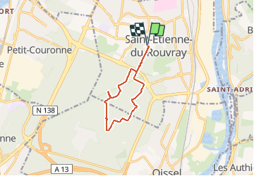
Le Catelier St Étienne du Rouvray
© OpenStreetMap contributors


2h42
Difficulty : Unknown


Length
9.3 km
Max alt
87 m
Uphill gradient
102 m
Km-Effort
10.7 km
Min alt
45 m
Downhill gradient
102 m
Boucle
Yes
Creation date :
2021-02-11 12:35:12.0
Updated on :
2021-02-11 15:18:57.032
2h42
Difficulty : Unknown
FREE GPS app for hiking
 SityTrail
IGN / Geographical institutes
SityTrail Plus
The world is yours!
About
Trail Walking of 9.3 km to be discovered at Normandy, Seine-Maritime, Saint-Étienne-du-Rouvray. This trail is proposed by jeannefrancoisenaname.
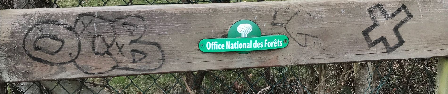
Photos


Positioning
Country:
France
Region :
Normandy
Department/Province :
Seine-Maritime
Municipality :
Saint-Étienne-du-Rouvray
Location:
Unknown
Start:(Dec)
Start:(UTM)
361107 ; 5471799 (31U) N.
Comments