


Balade à Gerpinnes

Desrumaux
User GUIDE


Length
9.2 km

Max alt
275 m

Uphill gradient
129 m
Km-Effort
10.9 km

Min alt
199 m

Downhill gradient
128 m
Boucle
Yes
Creation date :
2021-02-13 09:20:54.185
Updated on :
2021-02-15 16:05:27.055
3h51
Difficulty : Very easy

FREE GPS app for hiking
 SityTrail
IGN / Geographical institutes
SityTrail Plus
The world is yours!
About
Trail Walking of 9.2 km to be discovered at Wallonia, Hainaut, Gerpinnes. This trail is proposed by Desrumaux.
Description
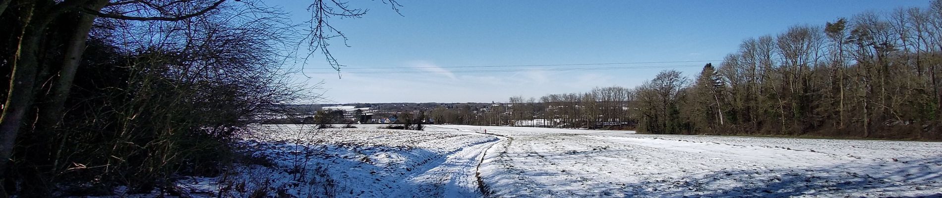
Du village de Hymiée au village de Fromiée par bois et campagne dans l'entité verdoyante de Gerpinnes
Photos


Positioning
Country:
Belgium
Region :
Wallonia
Department/Province :
Hainaut
Municipality :
Gerpinnes
Location:
Gerpinnes
Start:(Dec)
Start:(UTM)
609345 ; 5575942 (31U) N.
Comments