


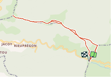
cap du Carmil

chrisgps
User

Length
10.9 km

Max alt
1617 m

Uphill gradient
705 m
Km-Effort
20 km

Min alt
1245 m

Downhill gradient
704 m
Boucle
Yes
Creation date :
2021-02-13 07:41:12.957
Updated on :
2021-02-14 16:56:39.511
6h35
Difficulty : Medium

FREE GPS app for hiking
 SityTrail
IGN / Geographical institutes
SityTrail Plus
The world is yours!
About
Trail Walking of 10.9 km to be discovered at Occitania, Ariège, Boussenac. This trail is proposed by chrisgps.
Positioning
Country:
France
Region :
Occitania
Department/Province :
Ariège
Municipality :
Boussenac
Location:
Unknown
Start:(Dec)
Start:(UTM)
373677 ; 4750757 (31T) N.
Comments