


Balazuc 7km

thonyc
User GUIDE
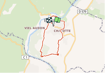

Length
7.3 km

Max alt
200 m

Uphill gradient
161 m
Km-Effort
9.4 km

Min alt
131 m

Downhill gradient
161 m
Boucle
Yes
Creation date :
2021-02-14 12:22:59.127
Updated on :
2021-02-17 08:37:55.31
2h00
Difficulty : Easy

FREE GPS app for hiking
 SityTrail
IGN / Geographical institutes
SityTrail Plus
The world is yours!
About
Trail Walking of 7.3 km to be discovered at Auvergne-Rhône-Alpes, Ardèche, Balazuc. This trail is proposed by thonyc.
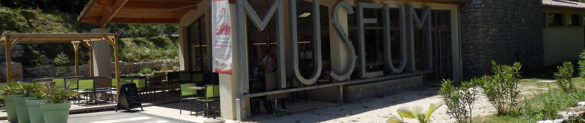
Photos


Positioning
Country:
France
Region :
Auvergne-Rhône-Alpes
Department/Province :
Ardèche
Municipality :
Balazuc
Location:
Unknown
Start:(Dec)
Start:(UTM)
609218 ; 4929050 (31T) N.
Comments