


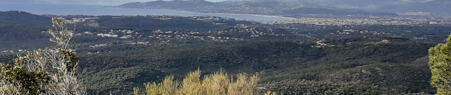
Barre du Roussivau les sommets des Perthus Gué de la Font du Pommier
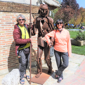
Aridomi
Sur les chemins tout va bien


4h30
Difficulty : Difficult

FREE GPS app for hiking
 SityTrail
IGN / Geographical institutes
SityTrail Plus
The world is yours!
About
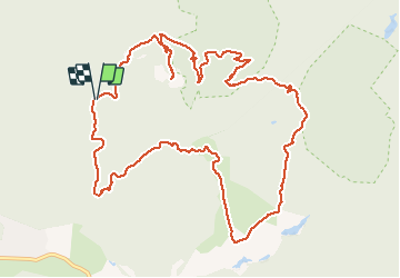
Trail Walking of 14.4 km to be discovered at Provence-Alpes-Côte d'Azur, Var, Saint-Raphaël. This trail is proposed by Aridomi.
Description
Départ parking 9h15 M. Forestière du Roussivau, Barre du Roussivau, Sommet du Perthus Occidental, Ravin du Perthus , Sommets du Perthus Oriental, Col Baladou, col Belle Barbe, M.Forestière de Gratadis, Gué de la Font du Pommier , Retour Parking 15h10.
Photos


Positioning
Comments