


Du Bocq à La Molignée, du château de Crupet au château de Mont-Aigle

ameurant
User

Length
20 km

Max alt
261 m

Uphill gradient
455 m
Km-Effort
26 km

Min alt
86 m

Downhill gradient
481 m
Boucle
No
Creation date :
2021-02-15 20:11:36.816
Updated on :
2021-02-15 21:54:09.486
--
Difficulty : Medium

FREE GPS app for hiking
 SityTrail
IGN / Geographical institutes
SityTrail Plus
The world is yours!
About
Trail On foot of 20 km to be discovered at Wallonia, Namur, Assesse. This trail is proposed by ameurant.
Description
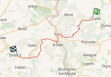
Crupet Bauche Yvoir Haut-Wastia Mont Aigle Sosoye
Positioning
Country:
Belgium
Region :
Wallonia
Department/Province :
Namur
Municipality :
Assesse
Location:
Crupet
Start:(Dec)
Start:(UTM)
639091 ; 5579164 (31U) N.
Comments