


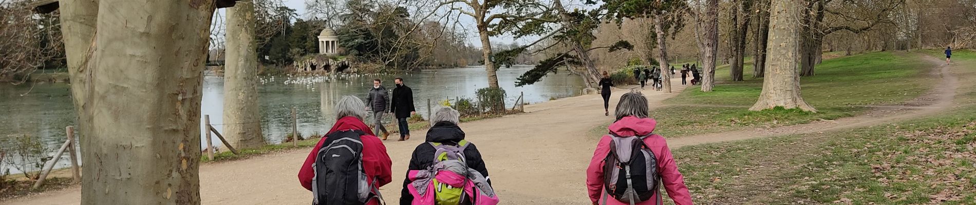
Le bois de Vincennes et le pavillon Baltard

c.chehere
User


Length
14.6 km

Max alt
73 m

Uphill gradient
119 m
Km-Effort
16.2 km

Min alt
35 m

Downhill gradient
127 m
Boucle
No
Creation date :
2021-02-16 07:57:48.591
Updated on :
2021-02-16 14:04:06.392
4h27
Difficulty : Very easy

FREE GPS app for hiking
 SityTrail
IGN / Geographical institutes
SityTrail Plus
The world is yours!
About
Trail Walking of 14.6 km to be discovered at Ile-de-France, Paris, Paris. This trail is proposed by c.chehere.
Description
Départ depuis la station "Alexandra David Néel" T3, retour par "Porte dorée" T3.
Promenade Yvette Horner à Nogent fermée pour cause d'inondation
Photos


Positioning
Country:
France
Region :
Ile-de-France
Department/Province :
Paris
Municipality :
Paris
Location:
12th Arrondissement
Start:(Dec)
Start:(UTM)
456712 ; 5410253 (31U) N.
Comments