


12.8 km | 22 km-effort


User


FREE GPS app for hiking
 SityTrail
IGN / Geographical institutes
SityTrail World
The world is yours!
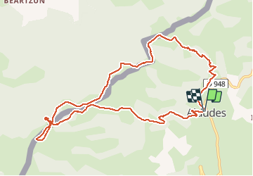
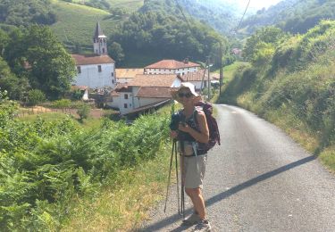
Trail Walking of 12.3 km to be discovered at New Aquitaine, Pyrénées-Atlantiques, Aldudes. This trail is proposed by DECHAMPD.
Randonnée dans la superbe vallée des Aldudes dans le Pays de Quint. ( chercher c'est original)
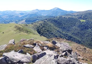
Le site de l'Harguibel est riche en monuments mégalithiques, tels les cromlechs, baratziak qui attestent d'une présence humaine de plusieurs milliers d'années.
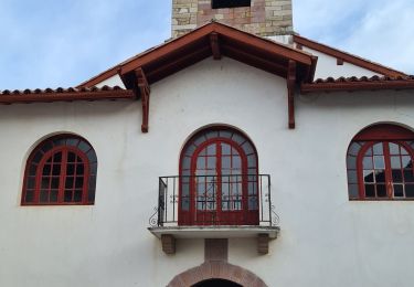
Départ de l'église des Aldudes. Nous monterons en direction de l'Harguibel.
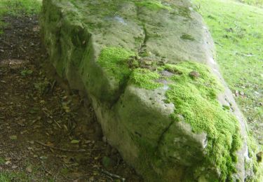
Nous déjeunerons à côté de la pierre qui bouge, l'Harrikulunka. C'est un curieux rocher de plusieurs tonnes suspendu sur une autre pierre lui servant de base. Ce rocher balance littéralement quand souffle le vent d'Ouest ou lorsqu'on le pousse avec force, à vous d'essayer.
La légende dit que cette pierre a été lancé par Roland depuis la montagne Hauzay
effectuée le 16 février 2021.
On foot
Walking
Walking
Walking
Walking
Walking
Walking
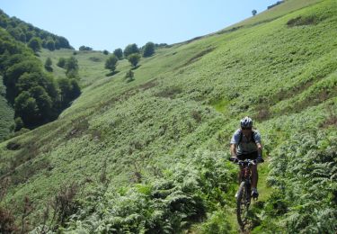
Mountain bike
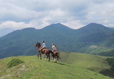
Equestrian