


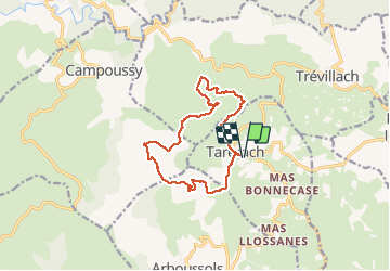
Taerach plateau de Sequires (Chapelle St Vincent

robertperello
User

Length
13.9 km

Max alt
823 m

Uphill gradient
421 m
Km-Effort
19.6 km

Min alt
514 m

Downhill gradient
420 m
Boucle
Yes
Creation date :
2021-02-17 08:46:56.0
Updated on :
2021-02-17 14:07:55.031
3h40
Difficulty : Medium

FREE GPS app for hiking
 SityTrail
IGN / Geographical institutes
SityTrail Plus
The world is yours!
About
Trail Walking of 13.9 km to be discovered at Occitania, Pyrénées-Orientales, Tarerach. This trail is proposed by robertperello.
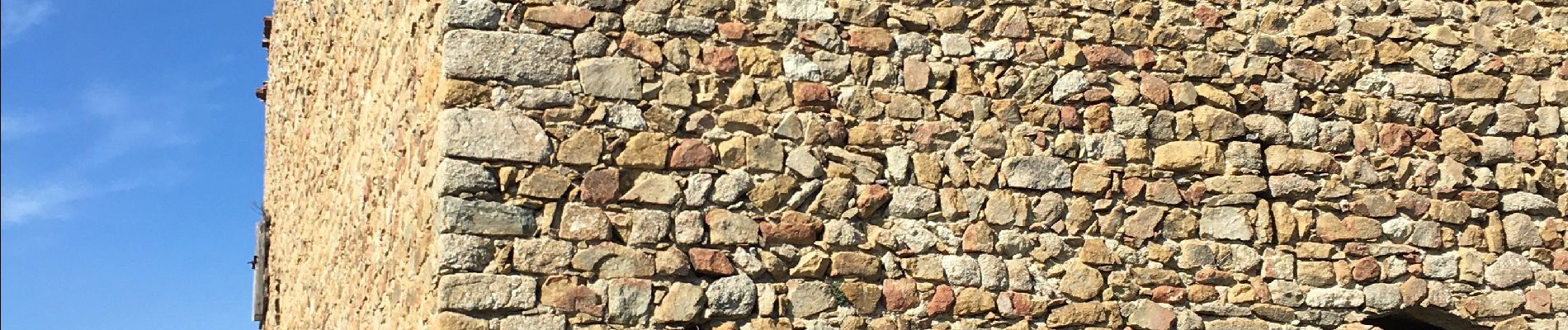
Photos


Positioning
Country:
France
Region :
Occitania
Department/Province :
Pyrénées-Orientales
Municipality :
Tarerach
Location:
Unknown
Start:(Dec)
Start:(UTM)
459362 ; 4726444 (31T) N.
Comments