


Rondje Raeren

Dirk242
User
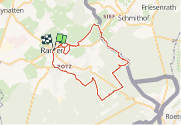

Length
17.2 km

Max alt
395 m

Uphill gradient
227 m
Km-Effort
20 km

Min alt
274 m

Downhill gradient
229 m
Boucle
Yes
Creation date :
2021-02-19 09:31:59.435
Updated on :
2021-02-19 15:32:33.538
5h58
Difficulty : Medium

FREE GPS app for hiking
 SityTrail
IGN / Geographical institutes
SityTrail Plus
The world is yours!
About
Trail Walking of 17.2 km to be discovered at Wallonia, Liège, Raeren. This trail is proposed by Dirk242.
Description
Heggen, bossen, riviertjes en Venen
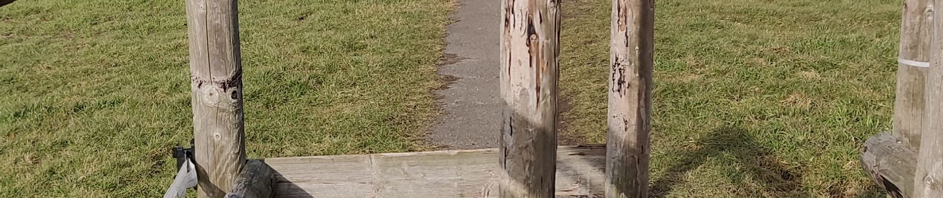
Photos


Positioning
Country:
Belgium
Region :
Wallonia
Department/Province :
Liège
Municipality :
Raeren
Location:
Raeren
Start:(Dec)
Start:(UTM)
295981 ; 5617800 (32U) N.
Comments