


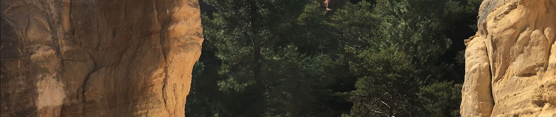
Le Colorado de Rustrel

lviallet
User
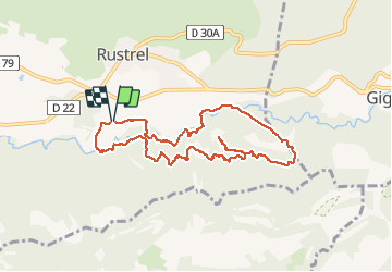

Length
9.4 km

Max alt
431 m

Uphill gradient
182 m
Km-Effort
11.9 km

Min alt
329 m

Downhill gradient
185 m
Boucle
Yes
Creation date :
2021-02-21 09:18:56.0
Updated on :
2021-02-21 16:51:43.763
3h13
Difficulty : Unknown

FREE GPS app for hiking
 SityTrail
IGN / Geographical institutes
SityTrail Plus
The world is yours!
About
Trail Walking of 9.4 km to be discovered at Provence-Alpes-Côte d'Azur, Vaucluse, Rustrel. This trail is proposed by lviallet.
Photos


Positioning
Country:
France
Region :
Provence-Alpes-Côte d'Azur
Department/Province :
Vaucluse
Municipality :
Rustrel
Location:
Unknown
Start:(Dec)
Start:(UTM)
699357 ; 4865605 (31T) N.
Comments