


202 km | 274 km-effort


User


FREE GPS app for hiking
 SityTrail
IGN / Geographical institutes
SityTrail World
The world is yours!
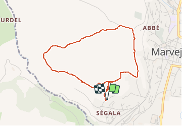
Trail Walking of 4.4 km to be discovered at Occitania, Lozère, Marvejols. This trail is proposed by Jerome Pignol .
balade autour de la maison


Motorbike

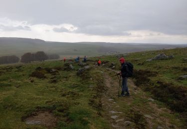
Walking
Mountain bike

Moto cross
Moto cross
Moto cross